Data & Reporting
If you are requesting data (in any format i.e. csv or pdf) please ensure that info.swansea.airqualitydata.com is added to your email systems "whitelist". If not, you may find that the emails are either not delivered or placed in your "junk" or "spam" folders.
Please note that all data is displayed as Greenwich Mean Time (GMT) and may therefore appear to be 2 hours "old" during the summer months. Also, please note that should the last date/time update show for example " Last updated: GMT 26 Jan 2010 09:00" this means the data displayed is for the period 09:00 to 10:00. The next update will reflect the period 10:00 to 11:00 etc etc
The air quality and meteorological data logged at any of our monitoring stations can be viewed in different ways. First and foremost the air quality data conforms to an index banding system, the key for which can be viewed at the top of this page. It is hoped that the index banded system will convey the current air quality levels at the various stations in a more easily understandable way. The index banding system operates for every air quality station as well as providing a summary for the whole of Swansea.
The data can be viewed within this banded system or at its base numeric level and it is easy to swap between the two views. Remember, ALL DATA IS DISPLAYED AS GMT. Please select a monitoring station below:
Air Quality Stations | Meteorological Stations
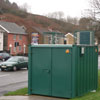
Cwm Level Park Ozone and NOx:
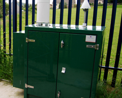

Current Air Pollution at Cwm Level Park Ozone and NOx
RUNNING
TOTALS:
Hafod OPSIS DOAS:
Current Air Pollution at Hafod OPSIS DOAS
RUNNING
TOTALS:
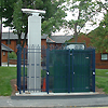
Morriston Groundhog:

Current Air Pollution at Morriston Groundhog
RUNNING
TOTALS:
St Thomas DOAS:
Current Air Pollution at St Thomas DOAS
RUNNING
TOTALS:
Swansea AURN:
Current Air Pollution at Swansea AURN
RUNNING
TOTALS:
30m Mast - Cwm Level Park:
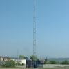
There is no index banded data for this station
Swansea Bay:
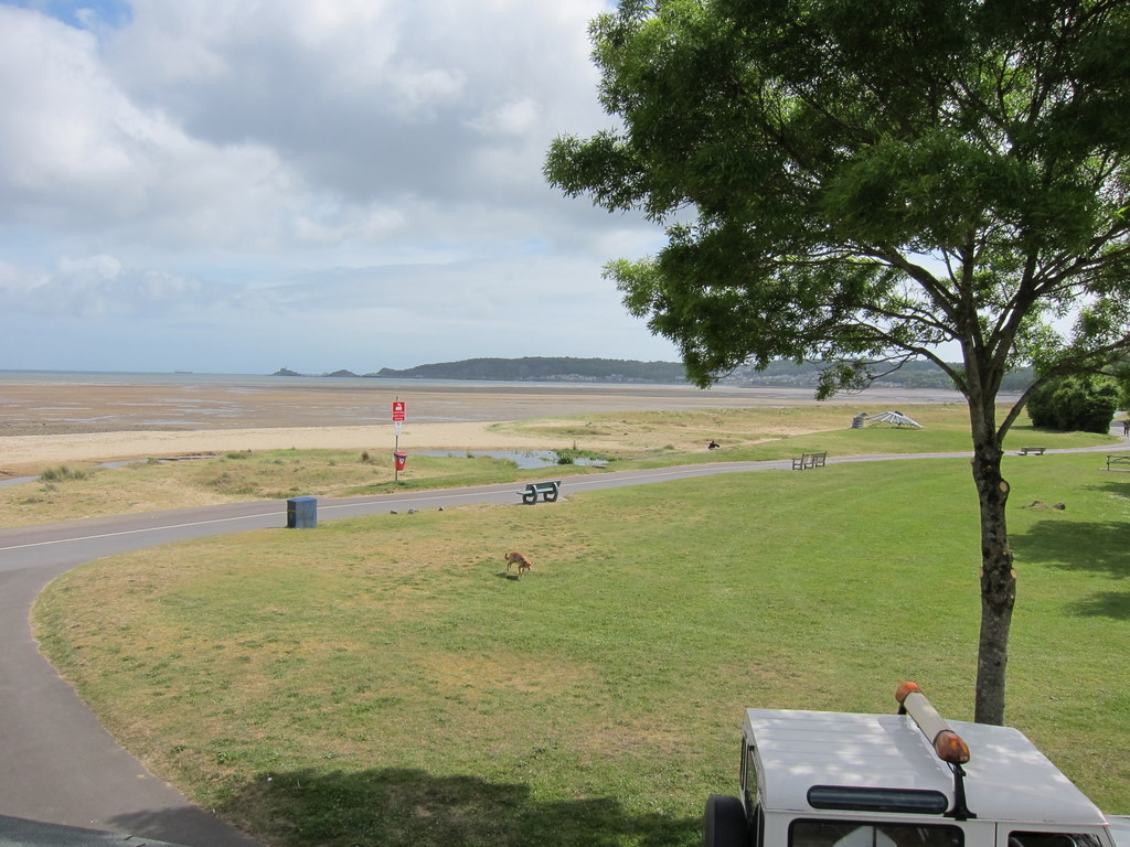
There is no index banded data for this station